All industries
Defense & National Security
Decision advantage for the mission — in the world’s hardest environments.
Signal4D delivers global weather and environmental intelligence to the teams who plan and run missions. We fuse best-of-breed data into one operating picture — from the command center to the field — so commanders and operators can make go/no-go calls before conditions put aircraft, vessels, vehicles, and personnel at risk.
Request a briefing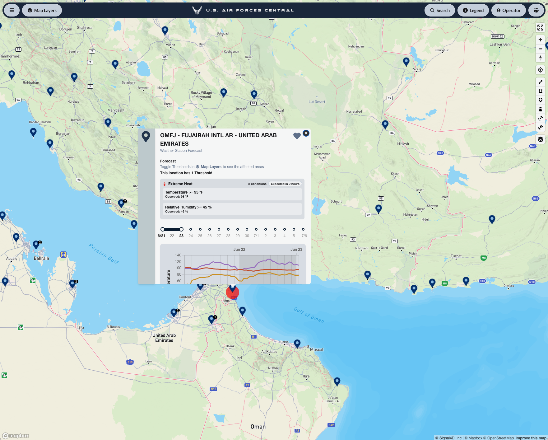
What you get
Built for how defense & national security teams work.
- Built for austere, data-sparse environments — global coverage that doesn’t depend on local infrastructure
- All-domain hazard awareness — dust and reduced visibility, extreme heat and density altitude, convection and flash flooding, fog and low ceilings, high sea state, complex terrain
- Mission-configurable thresholds and automated alerting — across points, routes and areas, tuned to rotary-wing, convoy, maritime and airfield operations
- One common operating picture — command center to field, on web, mobile and API
- Force protection and personnel safety — know where your people are, and what’s coming
- Rapidly deployable, enterprise-grade availability
In OmniWatch 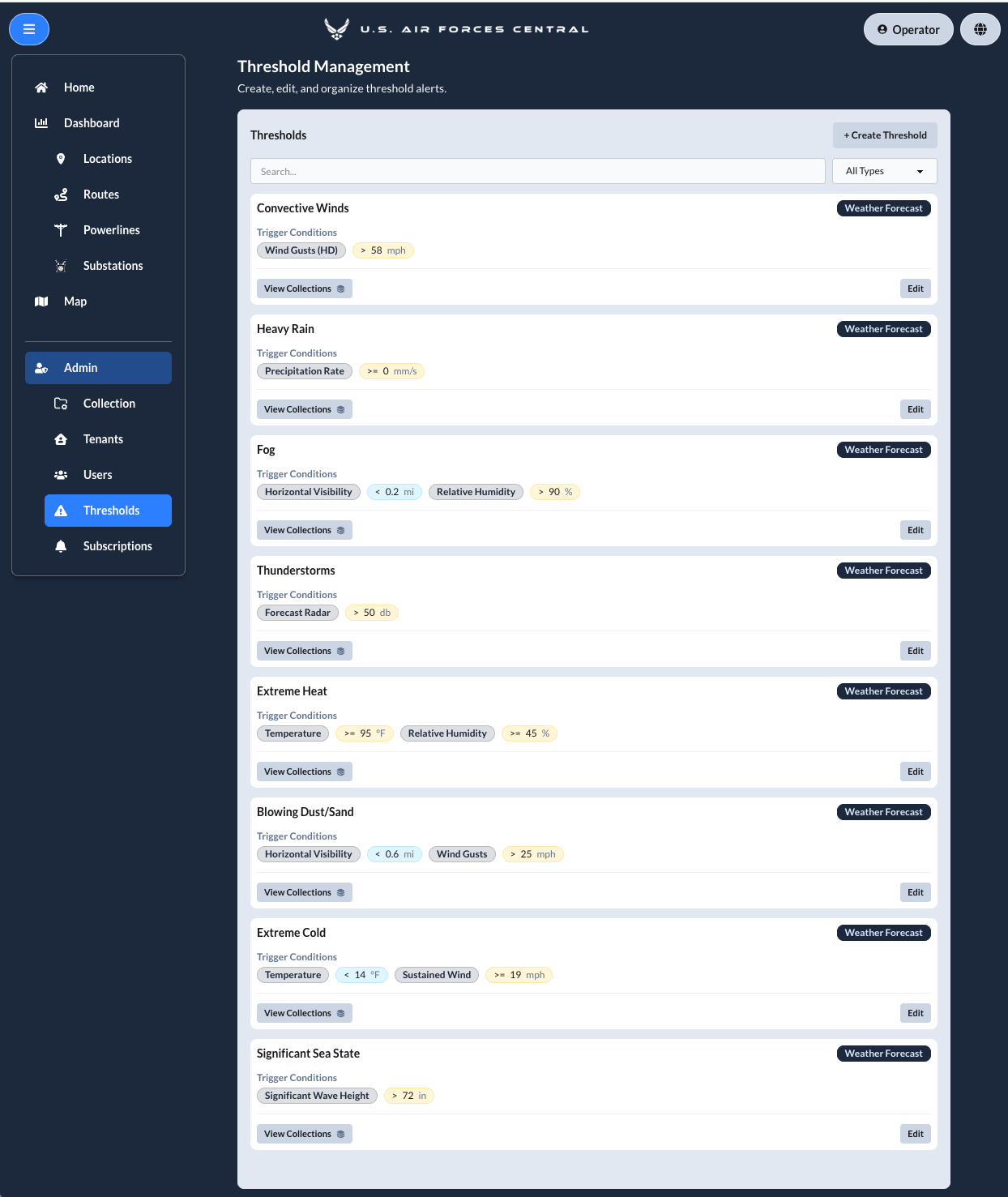
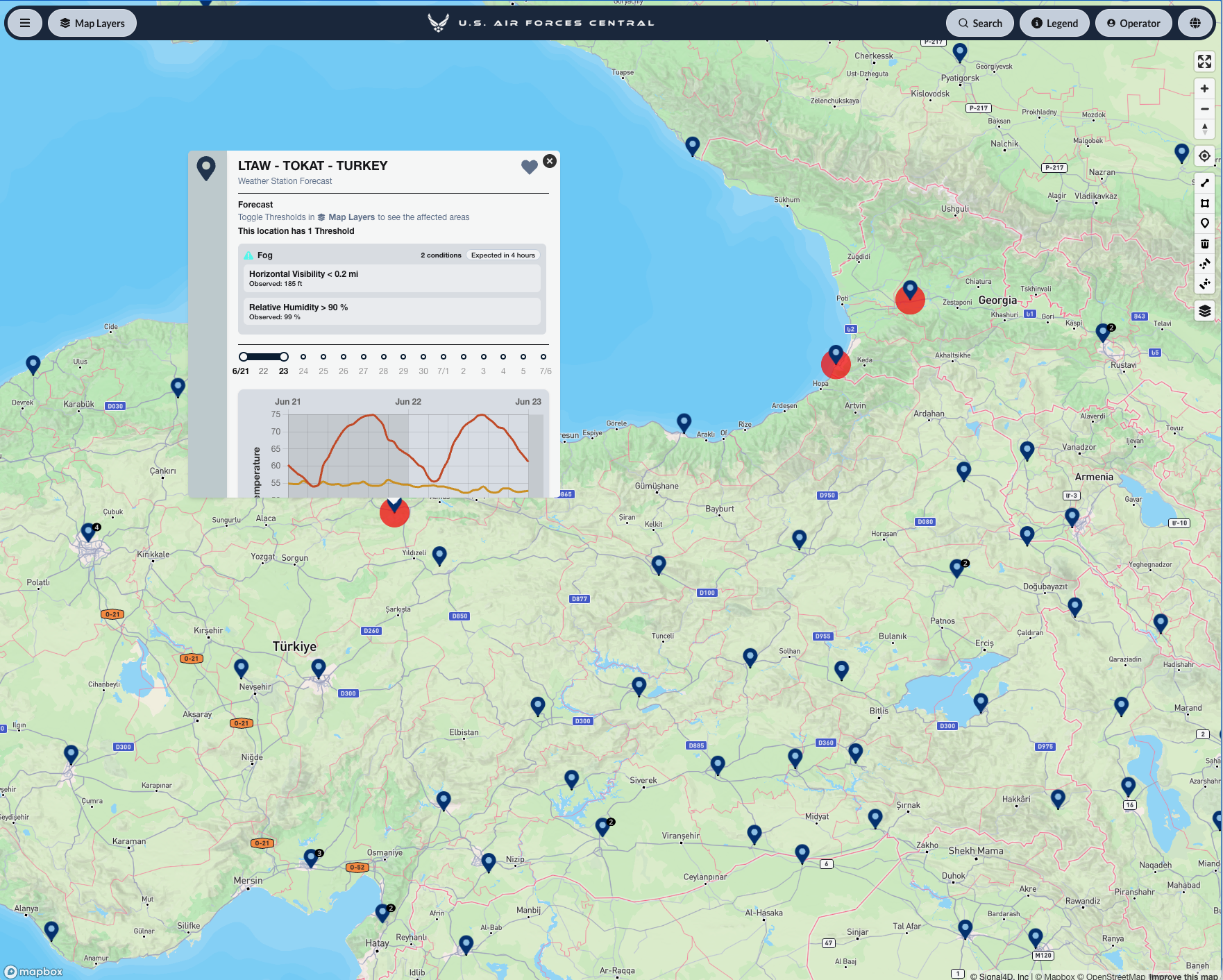
See it on the map.
Common questions
Weather intelligence for defense & national security, answered.
- How do military planners use weather intelligence for mission planning?
- Mission planners use weather intelligence to make go/no-go calls before conditions put aircraft, vessels, vehicles, and personnel at risk. Signal4D fuses global weather and environmental data into one common operating picture with mission-configurable thresholds — tuned to rotary-wing, convoy, maritime, and airfield operations — so commanders see hazards like dust, extreme heat, density altitude, convection, fog, and high sea state before they affect the mission.
- Does Signal4D work in austere or data-sparse environments?
- Yes. Signal4D is built for austere, data-sparse environments: its coverage comes from global, best-of-breed weather models, satellite observations, and lightning networks rather than local infrastructure, so the operating picture holds up in regions with no ground-based radar or station network.
- Can Signal4D support force protection and personnel safety?
- Yes. Signal4D tracks personnel and moving assets in real time alongside environmental hazards, and alerts when approaching conditions threaten the people or equipment at a specific location — from the command center to the field, on web, mobile, and API.
More answers on the Signal4D FAQ and in the weather-intelligence glossary.
Request a briefing.
See how Signal4D applies to your defense & national security operation — your assets, your territory, your thresholds.