Every mile of pipeline monitored for weather, wildfire, and other factors.
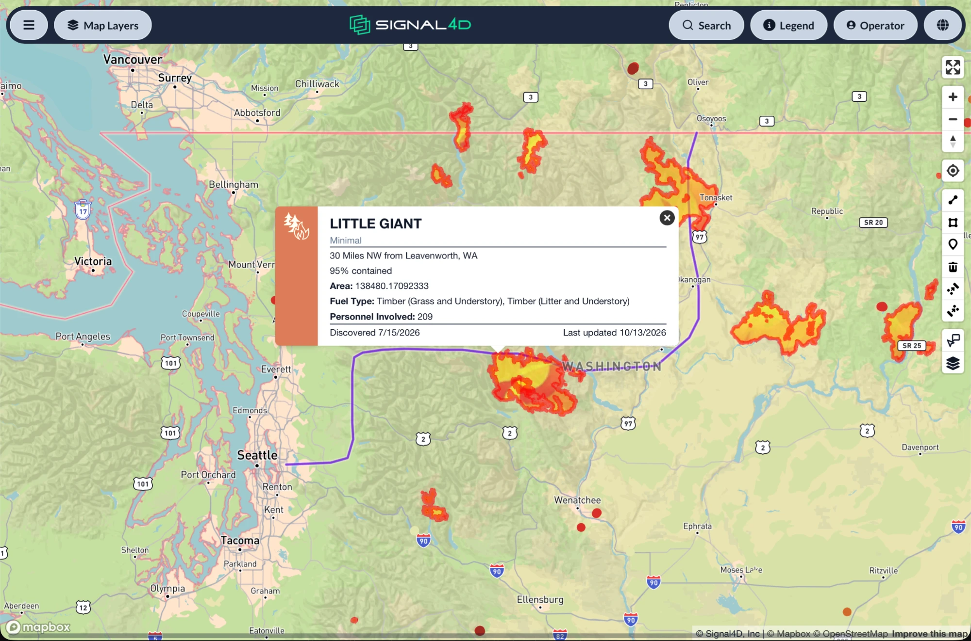
OmniWatch puts your pipeline routes on a map with live weather and wildfire data, and alerts your team when conditions along the right-of-way cross the thresholds you set. Floods, hurricanes, severe storms, lightning, and active fires all show up in one place.
Request a demo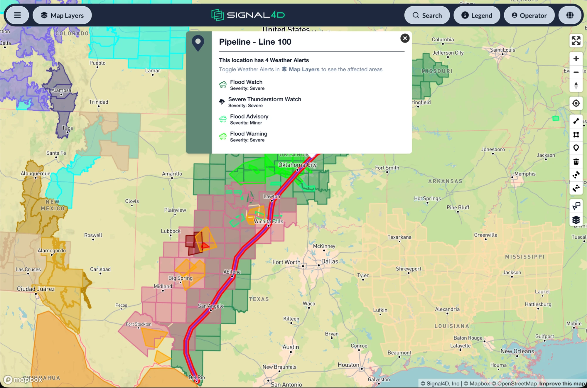
Built for how pipelines teams work.
OmniWatch supports your surveillance program. It does not replace required patrols or leak surveys.
- Upload your pipeline routes and zones, and set alert thresholds for them
- Official flood, tornado, and hurricane warnings along the right-of-way
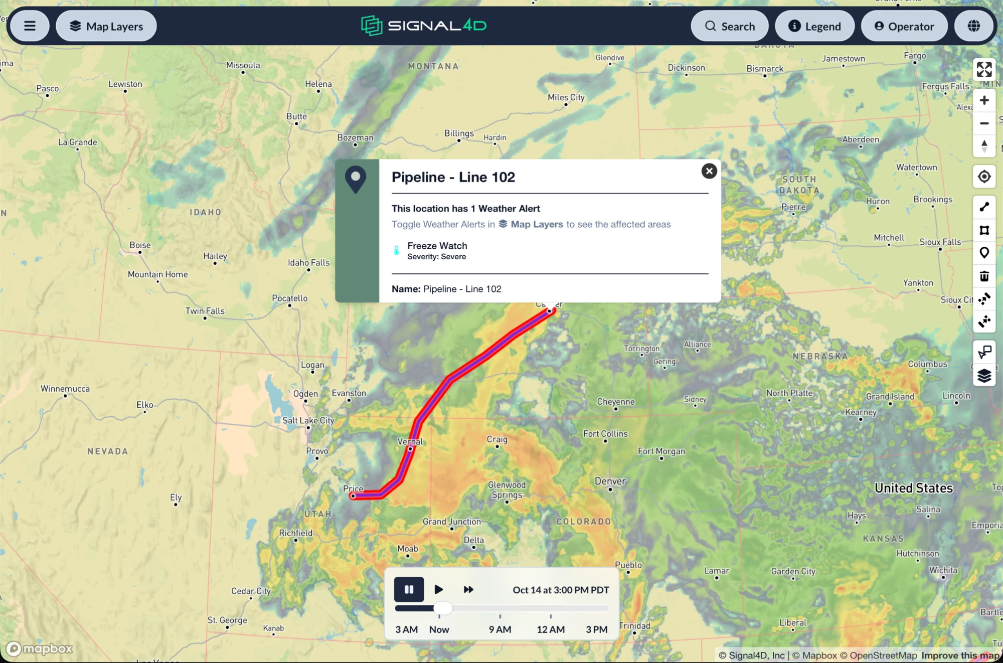
- Hurricane tracking, plus rain, wind, snow, and ice forecasts along the corridor
- Radar, lightning, storm cells, and live readings from nearby weather stations
- Satellite hot spots and active fire perimeters near the right-of-way
- Power line crossings and drone no-fly zones on the same map, for planning field work and drone flights
- Email alerts so integrity and right-of-way teams can act early
- Historical data along your routes, for reviewing past events and audit trails
Integrity teams
See where weather and fire threats are building along the pipeline, and plan inspections around them.
Right-of-way teams
Know when floods, storms, or wildfire are moving over the corridor before sending crews out on patrols or field work.
See it on the map.
Weather intelligence for pipelines, answered.
- How can pipeline operators monitor weather along a right-of-way?
- Operators upload their routes and zones to OmniWatch and see them alongside live weather: official flood, tornado, and hurricane warnings, hurricane tracks, radar, lightning, storm cells, and rain, wind, snow, and ice forecasts. Teams set thresholds along each route and get an email when conditions cross them.
- Does OmniWatch show wildfire near a pipeline?
- Yes. Satellite hot spots and active fire perimeters show on the same map as your routes, so teams can see when a fire is getting close to the right-of-way.
- Does OmniWatch replace pipeline patrols or leak surveys?
- No. OmniWatch adds weather and wildfire awareness along the right-of-way to your surveillance program. It does not replace required patrols or leak surveys, but it helps teams plan them with current conditions in mind.
More answers on the Signal4D FAQ and in the weather-intelligence glossary.
See it on your own operation.
See how Signal4D applies to your pipelines operation — your assets, your territory, your thresholds.